start your adventure today
Ever wanted to skipper a charter yacht?
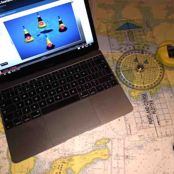
Start your journey to skippering a charter boat with our RYA Day Skipper theory courses, online and evening classes (Zoom & Classroom).

Popular Options

Essential Navigation
A great introduction to navigation and safety awareness for new or inexperienced skippers and crew. In fact, it’s for anyone interested in sailing, motor boating, sea angling or diving, and works well in conjunction with the RYA on-the-water training, such as the Competent Crew course.

Round the Island
Join us for the Worlds largest yacht race! This fun-packed race weekend around the Isle of Wight culminates in an evening of entertainment in Cowes. An anti-clockwise drag race starting from Cowes, the 60-mile course take us back for a well-deserved drink!

Day Skipper Theory
Probably the most common place to start the RYA Syllabus is the Day Skipper Theory. If you’ve already got some sea miles, perhaps with friends or family, then this could be the place for you.
Or you may have done your Competent Crew course and you’re looking for the next stage of your sailing journey.